Surveying & Mapping
Drone surveying & mapping
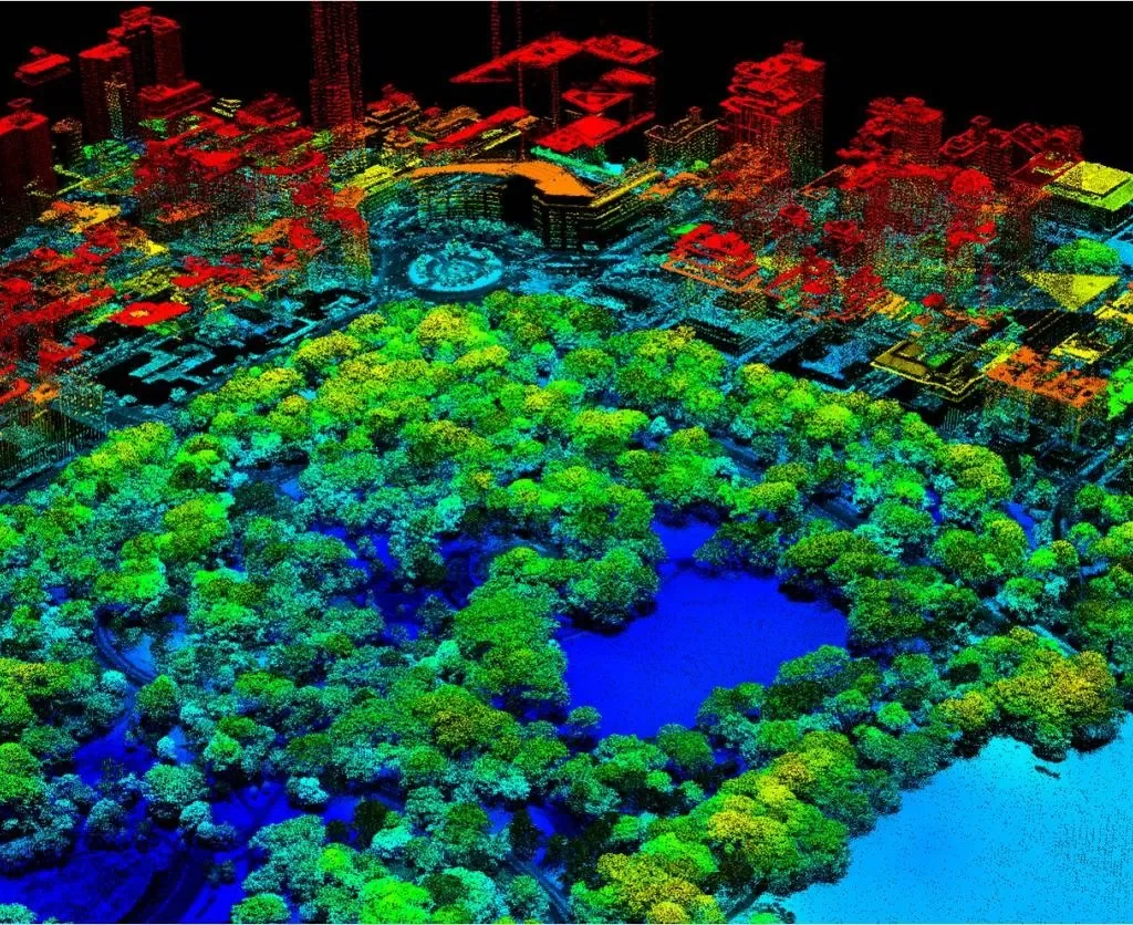
sMAC is committed to delivering comprehensive Aerial Drone Surveying/Mapping solutions throughout India. We are providing sevices in Land Surveying, Aerial Surveying for Land Management & Development, Land Slope monitoring, Stockpile volumetric measurements, Designing smart cities, Mapping greenfield projects, and more, we possess unmatched expertise in the field. Our utmost focus is on ensuring exceptional quality, which enables us to consistently produce highly precise topographic maps with Centimeter level Accuracy. Equipped with cutting-edge surveying Drones and a team of skilled team, we empower our clients to receive deliverables promptly, facilitating agile decision-making.
Our Features
Our features distinguish us as a notable presence among the crowd.
We can help with
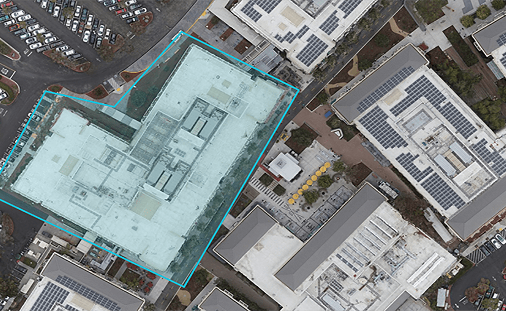
Orthomosaic Mapping
At sMAC, we ensure that the drone images undergo meticulous post-processing, including image distortion correction and stitching, resulting in a remarkably precise orthomosaic map. This map contains 2D geo-information (X, Y) within each pixel, allowing for direct and accurate measurements of horizontal distances and surfaces. Our commitment to utilizing advanced technology and techniques guarantees that our clients receive the highest level of accuracy in their surveying and mapping needs
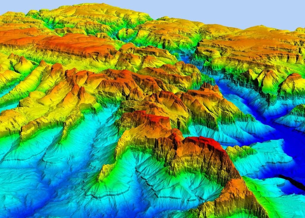
Digital Surface Models (DSM)
Drone images can be utilized to construct Digital Surface Models (DSM) of the surveyed area. Within each pixel of the DSM, valuable 2D information (X, Y) is present along with the corresponding altitude (Z value) of the highest point at that specific position.
Digital Terrain Model (DTM)
When the drone captures images, it goes through a process of filtering objects like buildings. These filtered images serve as a basis for generating Digital Terrain Models (DTMs), where each pixel holds valuable 2.5D information. This information includes the X, Y, and Z values representing the highest altitude.